See it in action
Six map providers, offline-ready, with the data depth a serious hiker actually needs.
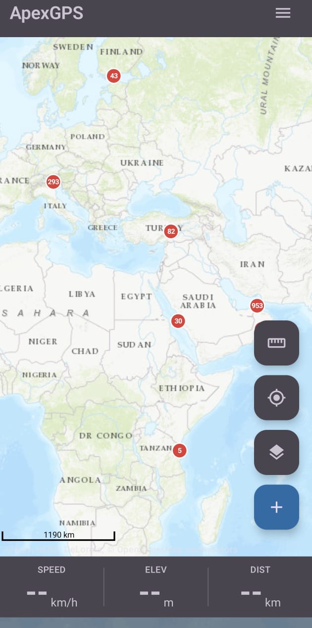
Free hiking maps · 100% offline
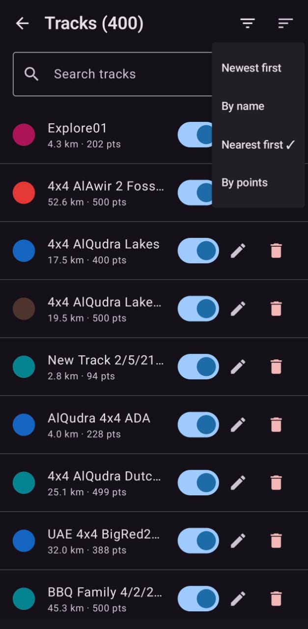
GPX · Waypoints · Tracks · Weather · Planning
Six map providers, offline-ready, with the data depth a serious hiker actually needs.
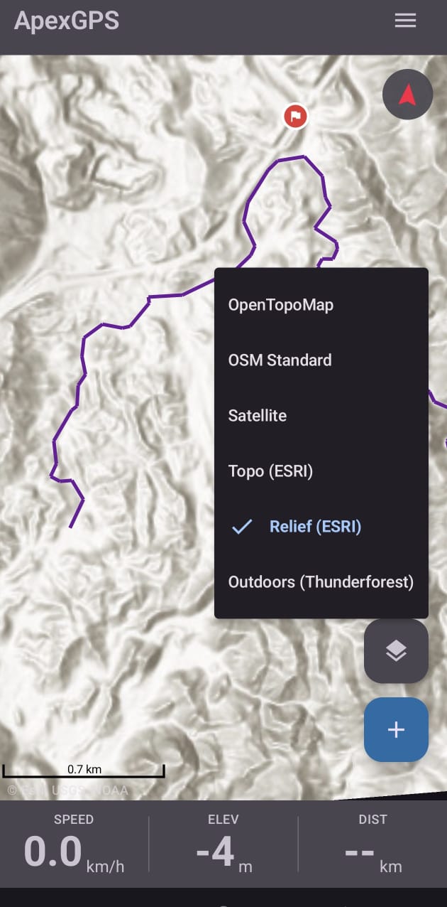
OpenTopoMap, OSM Standard, ESRI Topo & Relief, Satellite, Outdoors. Switch instantly.
Download tiles by area before you head out. No signal needed once stored.
Open standard. Bring tracks from anywhere; share with anyone.
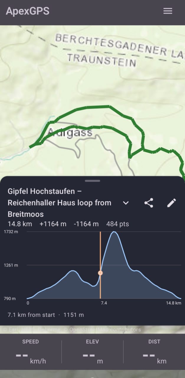
Per-point ascent/descent from your recording or fetched from terrain DEM on demand.
Foreground tracking with smart filters; survives screen-off and reboots.
Tap to send an "I'm here" link. Opens directly in ApexGPS for recipients; web map for everyone else.
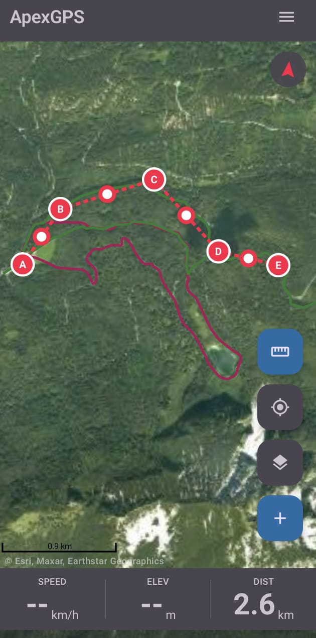
Sketch a route by tapping the map, fetch its elevation profile, save as a real track.
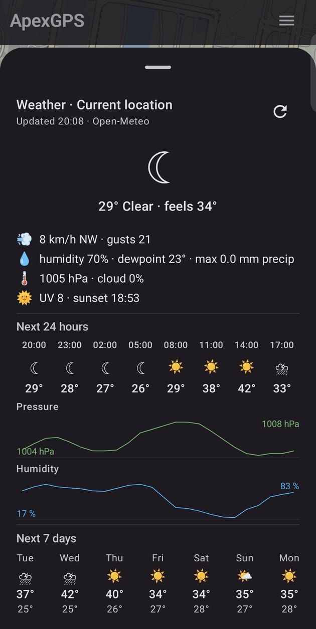
Per-waypoint hourly forecasts for the next 7 days, no API key, fully localized.
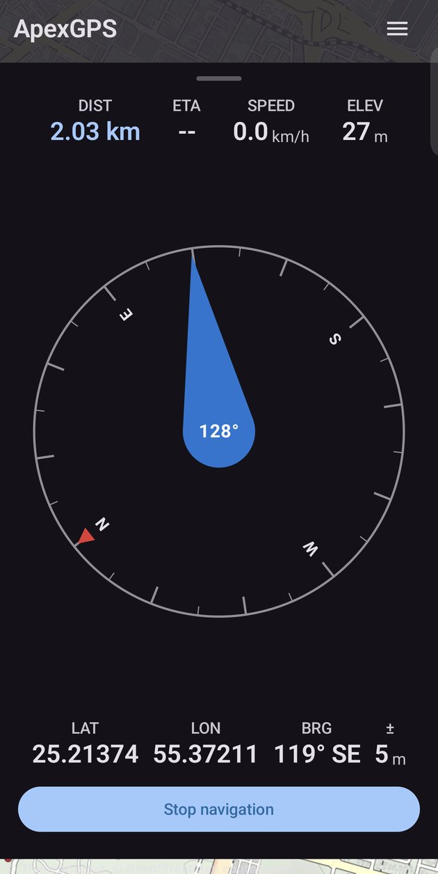
Always-visible compass with rotation lock. Navigate to any waypoint with bearing & distance.
One-tap ZIP backup of every track, waypoint, region, and setting. Move phones in seconds.
Built because subscription paywalls had taken over the hiking-app space. This one stays free, private, and yours.